The University Discusses the Development, Constraint, and Capacity of Ecotourism in the Urban Tourism Forum
The second and final day of the Urban Tourism Forum in the Mountainous Areas continued to discuss research papers about tourism investment and sustainable tourism in mountain regions. There were eleven research papers presented over three sessions. King Khalid University (KKU) participated with three papers presented by an elite group of professors, in which they handled the development and capacity in addition to the constraint of tourism in the Asir Region.
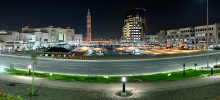
The first session started with a topic on tourism investment. It was presented by the Professor of Geography at the College of Human Sciences, Dr. Marsh Al Odaini, and Prof. Najoud Al Qahtani, under the title 'Obstacles of Hotel Tourism Activity in Abha City.' During their presentations, they talked about the characteristics of the Asir region in terms of climate, terrain, and vegetation, as well as the cultural and social aspects. The main message conveyed was that the region has the elements of a tourism industry that make it eligible to be one of the sources of national income in the future.
The Professor of Environmental Geography at the College of Human Sciences, Dr. Adel Mu'atmad, opened the fifth session with his research paper on the theme of 'Sustainable Tourism in Mountain Areas,' titled 'Absorption Capacity for Ecotourism in the Asir Region: Practical Form.' In his study, he brought attention to tourism activities at the famous attraction, Al Souda Park.
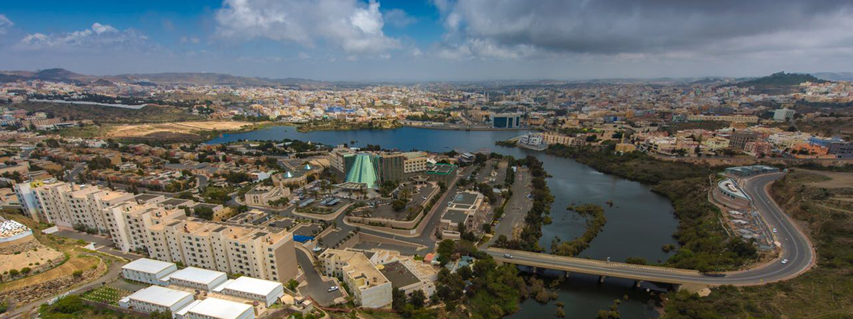
In the last session of the second day, the Professor of Human Geography at the College of Human Sciences, Dr. Fayez Asiri, presented his research paper titled 'Sustainable Tourism Development of the Mountain Valleys' under the session theme of 'Sustainable Development in the Mountainous Areas.' He used Abha valley as an example for the research. He suggested a suitable strategy for the sustainable development of Abha Valley, describing it as a vital natural resource by highlighting its natural and human advantages. He explained that we could support the sustainable development of the valley through the use of Geographic Information Systems (GIS) techniques as an efficient and powerful tool in building geographic databases. This will ease managing and conducting a proper spatial analysis of the valley data by using automated modeling. Based on that, we can make digital maps containing valuable information helping to provide answers about the implementation of developmental strategies in the valley.